Geo Coordinates Plotter - View Bulk Lat Lon on Map
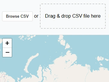
Drag & drop CSV file here
Want to display customer's geographic data on map or project sites coordinates on satellite imagery?
This free app will help you to plot your geographic coordinates on map in no time. You can visualise your data on an interactive map
Just prepare your comma separated file of lat long in decimal degrees and upload to the app. This application will read the coordinates automatically and will display points on the map with two basemap options: Street Map & satellite imagery.
This lat long plotter can be used by many types of users and can be employed in many disciplines that need precise spatial location, mapping, or geographic analysis because lat long are universally accepted reference system to find the geo location.
Key Features of Lat Long Plotter:
Limitations:
As this is a free tool to view your lat long data, there is a limit to view latitude longitude data on map. You can view 500 points on map at a time.
User Guide: Lat Lon to Map Plotter Step By Step Guide:
This free webgis tool is quite straight forward to use. Following guide will teach you about the usage of lat long data plotter on map.
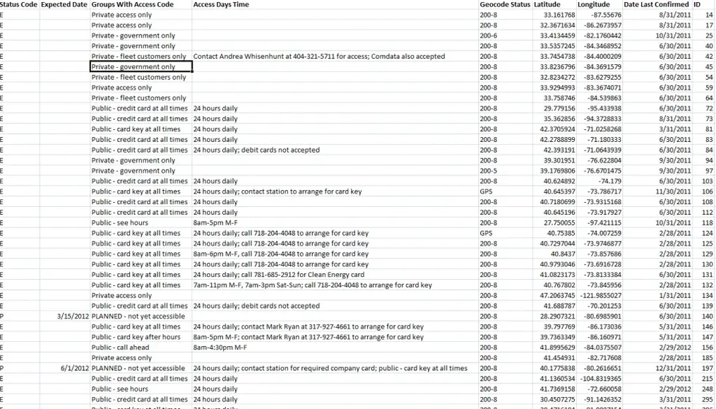
Step 1: Prepare GPS coordinates CSV file
CSV data that contains the geographic point data must have longitude and latitude separate columns. All other attributes should have respective column names. Bellow is sample csv data.
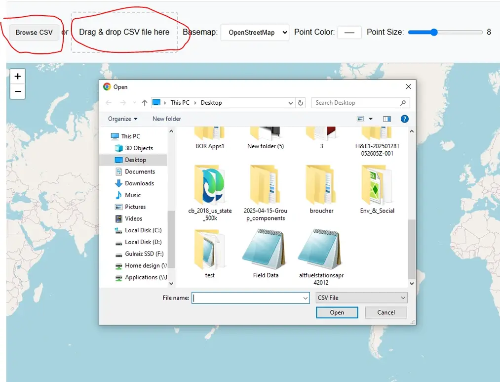
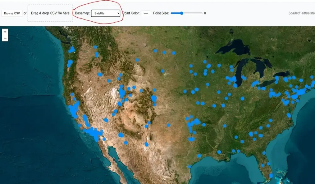
Step 2: Upload or Drag & Drop CSV file
After preparing the csv data with lat lon information stored for each respective point, press “Browse CSV” button or drag & Drop your file in designated area.
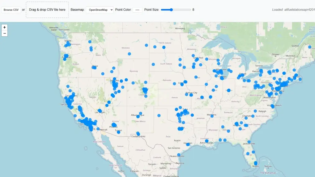
Application will automatically detect the data if it is in right format and will upload immediately without pressing any button. Your map will be zoomed to the extent of csv coordinates data.
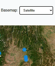
Step 3: Change Basemap
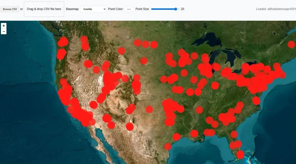
Default basemap is street view by Open Street Maps OSM. Basemap can be switched to satellite imagery.
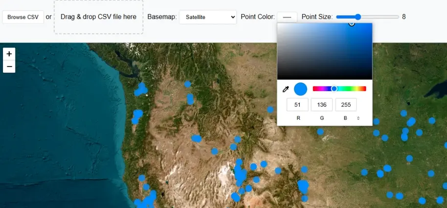
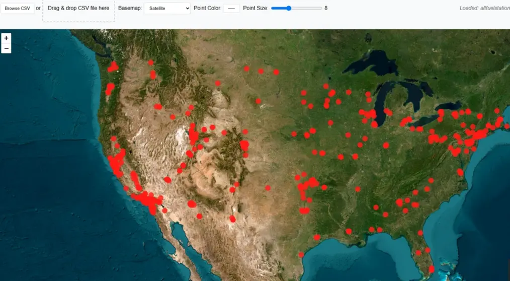
Step 4: Change Points Color
To make map more attractive color of points can be changed from color pallet.
Step 5: Change Point Size
Point size can also be changed using slider from 3 to 20.
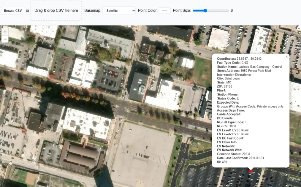
Step 6: Get Popup Information on Point Click
Click on any point on map and a popup window will be appeared, showing stored information of that point along with latitude longitude values.
Open Source Resources