Shapefile Viewer - .shp Data visualizer
Looking for a free shapfile viewer online tool to read .shp esri GIS format and visualize on map and change symbology?
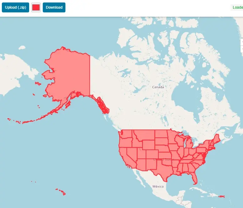
View shapefile GIS spatial data online on map absolutely free. Compress all Esri’s shapefile sub files including .shp, .dbf, .prj, .shx & .cpg in zip file and simply upload the file using this online shapefile viewer free mapping application. This GIS tool provide all basic functionalities of interactive online map, like zoom in, zoom out, pan etc. No signup or installation is required to use this shp reader free online application.
Esri shapefile format is well known GIS format and widely used all over the world. Sometimes we want to view the GIS data on the go without installing any software on our computer.
This apllication will instantly show your esri shapfile data online on map. You can also download the map of your data along with basemap in image format to use in your reports and presentations.
Application Key Features:
User Guide: Step by Step Guide to Use Shapefile Viewer Online:
This guide will help you to use online shapefile reader to display data on map and change symbology.
Step 1: Prepare Shapefile to upload
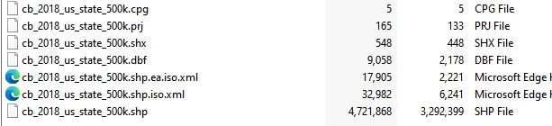
Make a zip file with all dependent files usually 6 or 7 files. i.e. .shp,.cpg , .prj , .shx , .dbf
Step 2: Upload zip file to application
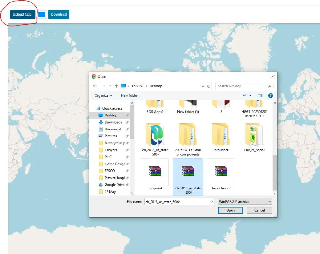
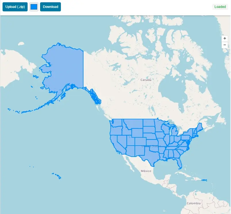
Once file is uploaded to the application, it will automatically read the shp data format and the spatial data will be displayed on map with extent of map same as the shapefile data.
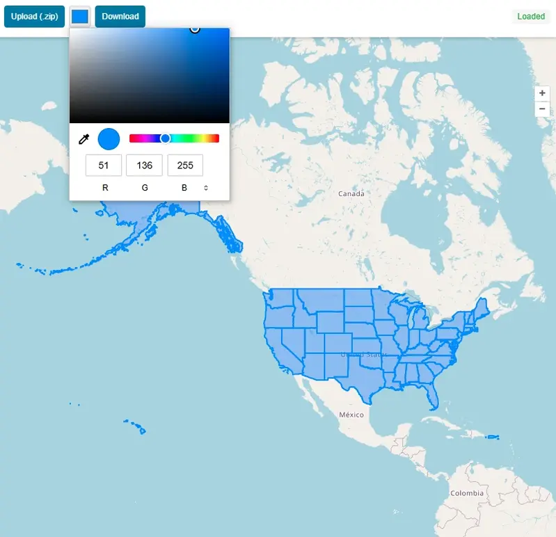
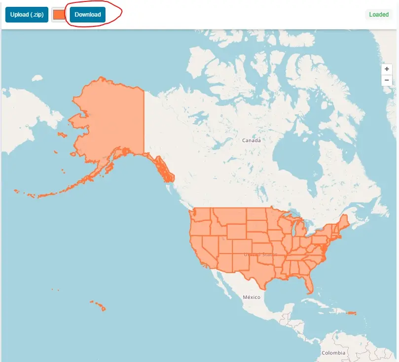
Step 3: Change Color of GIS Data
You can change the color of map easily just by selecting color from color pallet tool.
Step 4: Download Map in JPEG With Shapfile Map and Open Street Map as Basemap.
After customization of map press download and map will be downloaded in JPEG format.
A Brief History of the Shapefile
The Shapefile was first created in the early 1990s at Environmental Systems Research Institute (Esri), a pioneer company that was then establishing herself as a leader in the geographic information systems (GIS) analysis software market with its state of the art product, ArcView.
The goal was not the creation of the perfect, all-encompassing data format, but the development of a simple, efficient way for geospatial data to be displayed and worked with on the increasingly powerful desktop computers of the era.
A format was needed by Esri that was fast for drawing and in which the core elements of a map—points, lines, and polygons—could be handled. The solution, released around 1993, was deceptively simple. A "Shapefile" is not a single file, but a collection of at least three mandatory files that are designed to work together.
Open Source Resources